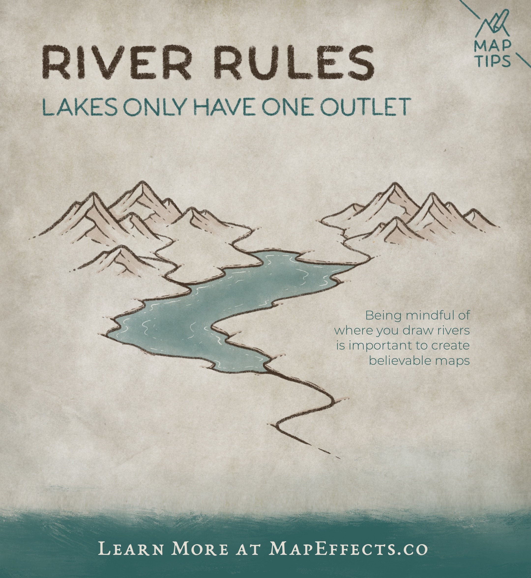
River Rules - Lakes Only Have One Outlet
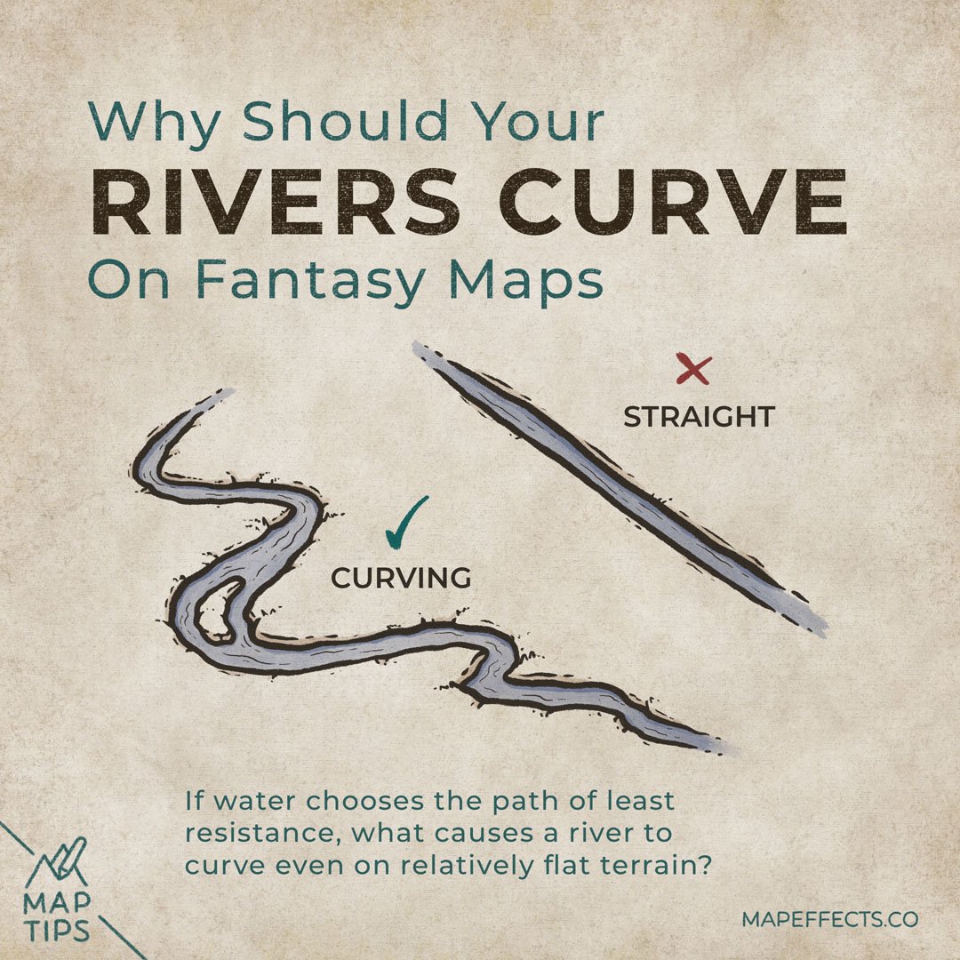
Rivers are one of those tricky things to draw correctly on a map because they’re almost too familiar; we don’t usually spend much time thinking about how they actually flow through a landscape. In this case, it’s how rivers interact with lakes and how being mindful of this when you draw your maps can go a long way in making your world more believable.
Multiple Streams Flowing In
It is common to see multiple rivers or streams flowing from high points like mountains and hills and feeding into a single lake.
Lakes are essentially just low spots that are able to fill with water from streams and surface run-off. As long as the water can’t seep into the ground faster than it fills, you’ll end up with a lake.
Only One Stream Flowing Out
Water will always choose the path of least resistance on it’s journey to the ocean. So while flooding may temporarily cause several outlets to form on a lake, it will eventually choose one route as it drains.
Learn the Rules so You Know When to Break Them
As soon as I say anything like this, there will inevitably be somebody hopping on Google Earth to take a screenshot to prove me wrong. But, I always say that it’s important to be aware of the rules so then you know when and how to break them in a way that’s believable.
There is no shortage of published fantasy maps in very popular series with errors that negatively impact the realism of their world. The goal is to remove as many barriers as possible to create a truly immersive, and believable world for your story.
I hope you found this little Map Tip helpful in your journey to map your story. If you want to support Map Effects and help other map makers, be sure to share this with someone who will find it helpful and pin it to save for later!
Josh | MapEffects.Co


