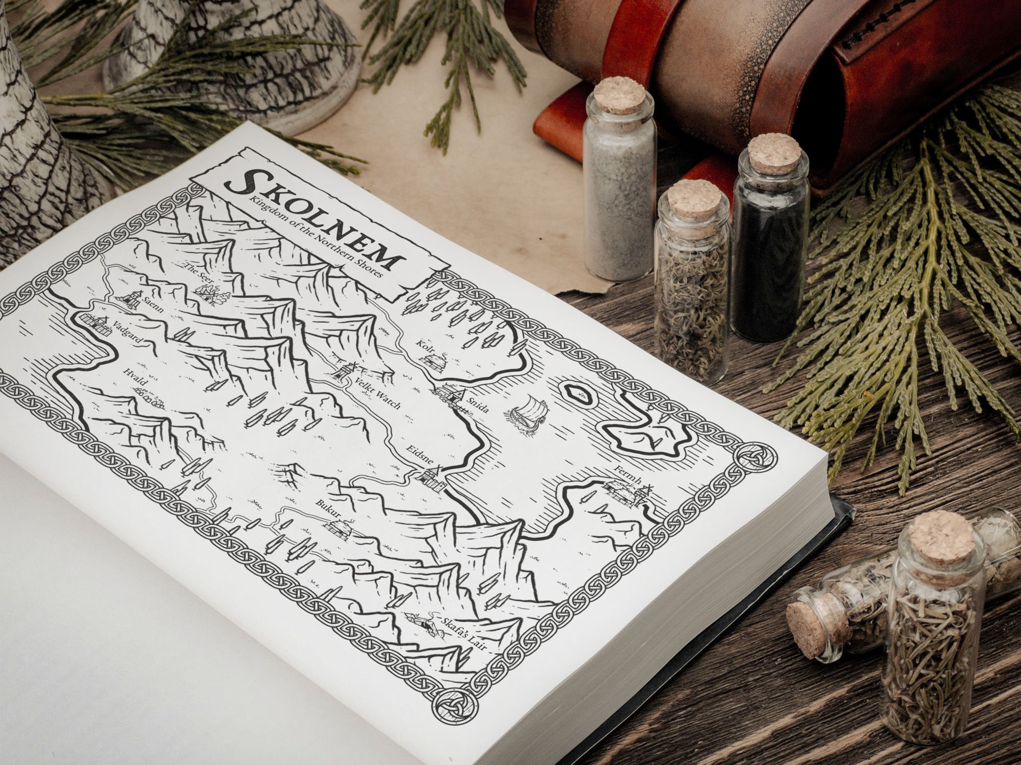
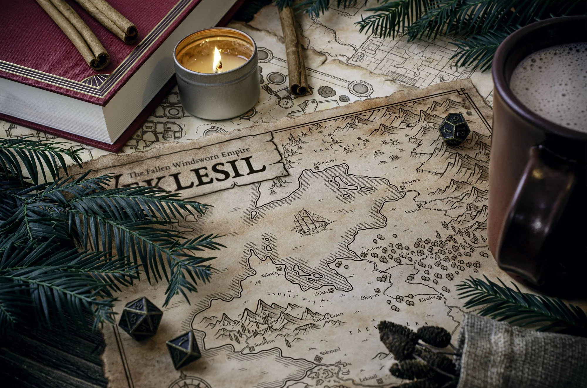
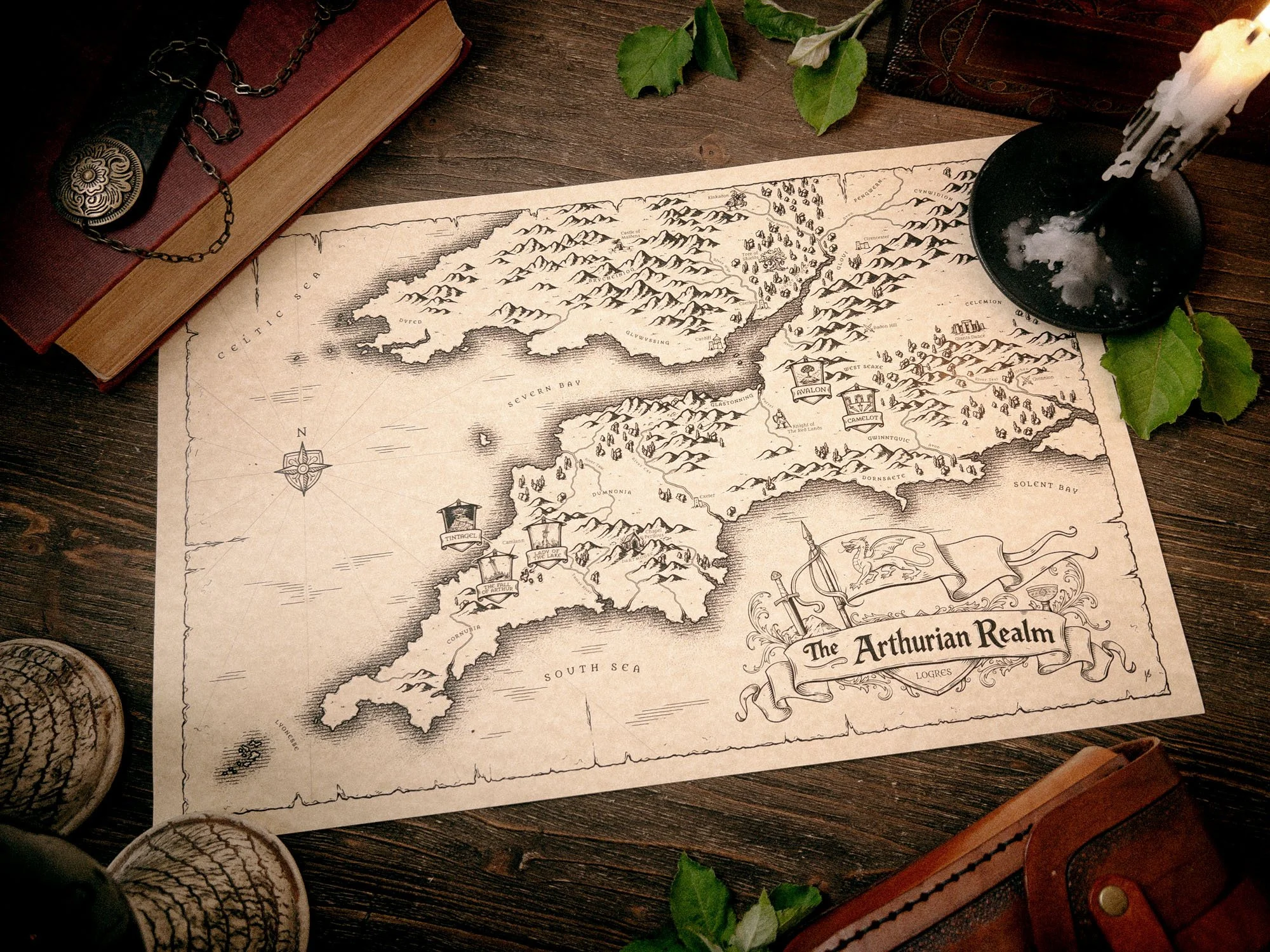
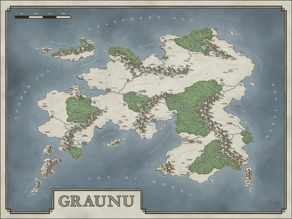
Choosing the Scale of Your Fantasy Map
The first time I sat down to draw a map, I realized that I had no idea how to figure out the size and scale of the continent I was drawing. How did I know if I should make it 200 miles across or 2,000, and then how did I indicate the scale so that other people knew how far it was from one point to another? Frankly it felt like a problem that could involve too much math for my liking. After some research though, I realized there were a few principles to keep in mind every time I began a new project which saved me a lot of time making revisions down the line.
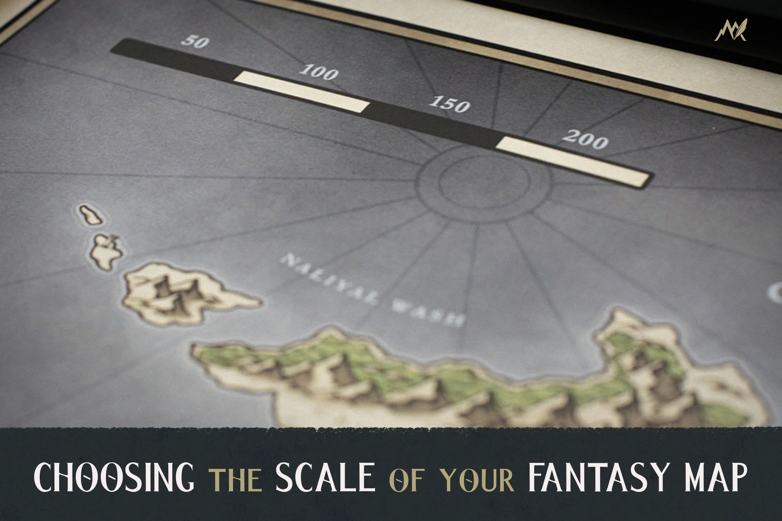
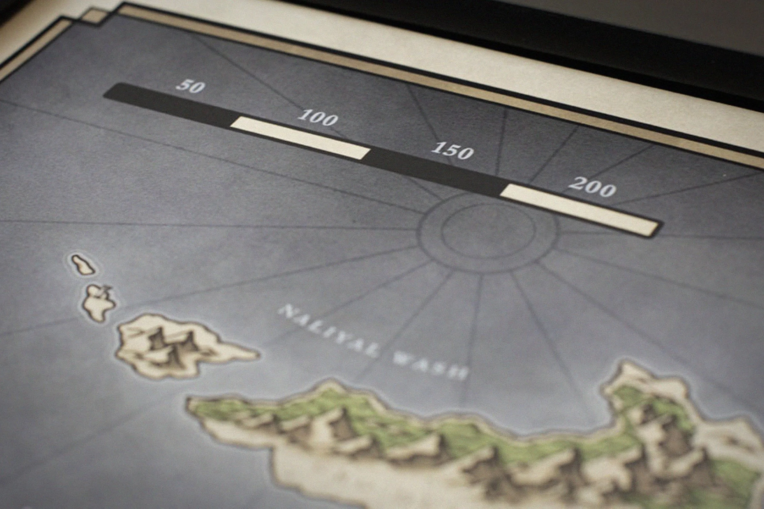
The easiest way to calculate the scale for your map is to convert the dimensions of your document to miles or kilometers. So if you decide that an inch is equal to 100 miles, then a document 10 inches long would be 1,000 miles across. The specific numbers are up to you, but it will help give you a starting place so you have an idea of the scale of your map. But now question is, what size should you make the area that you’re mapping?
What’s the Difference Between Size and Scale?
I have noticed that many people, myself included, often use these words interchangeably. But, they really do mean different things, and understanding that can be very helpful to the process of creating your map. Here is a simple example which will hopefully show the contrast between the two.
If you had an island 10 miles across and wanted to depict it on a map, you will have to scale it down so that it will fit on a sheet of paper. To keep things simple, if your paper was 10 inches across then the ratio could be 1 inch = 1 mile. This is how you would determine the scale of the map. Below is a quick break down of the difference between the two.
Size: The actual measurement from one point to another (The island is 10 miles across)
Scale: The ratio on a map representing the actual size (1 inch of paper = 1 mile)
1: How Much Should Your Map Show?
When it comes to fantasy maps there is a tendency to show too much. I get it, you are crafting your own world and you want to show it all off. But since most fantasy stories take place in a setting with stone age to renaissance levels of technology; a story that spans the world in most cases is highly unrealistic simply due to travel time and ease of communication. A fantasy story that spans the globe without a magical solution to the problem really reveals a 21st century, globalized way of thinking. In order to have a more realistic story and map, it will likely take place in a fairly small geographic area. Hopefully though, this will give you some greater focus so you won’t feel overwhelmed having to know everything about the world.
A Real World Example
Think about the amount of story that has taken place in a country like England. But the country itself is roughly 350 miles across and about the same high. The United States is quite a bit larger, but even then it is about 2,500 miles across and usually most stories you read take place in a single state or even just a city. So while it may be helpful for you as the creator and writer to know more of the surrounding context, it is best to only show your reader what they absolutely need to know.
Build Mystery Rather than Info Dumping
How much you show should be determined by what best serves the story you’re telling, not because you want to show off your world building. The difficult reality is that nobody cares about the setting you’ve spent countless hours creating until they are invested in the characters and the story itself.
In fantasy writing there is a common caution against “info dumping”. And while this is true in writing, it is also true when it comes to art and maps. Show the reader only what they need to know, and build mystery around what else is out there. You can always expand upon the map later as your audience becomes more invested and it benefits the story.
2: Reference What You Already Know
One of the best things you can do is look at your own slice of the world in order to bring realism to the one you’re creating. For instance, in the country you live, you probably have a general idea of how far it is from one side of the country to the other. But even if you don’t, then just think about the size of the state, territory, or region that you live in and use that as a reference point. Think about how far it is from one city to another and how long you think it would take to travel that distance without a car.
No matter where you live you can use it at least as a starting place to determine the size the region you’re creating and the scale you will depict it. The primary point of this is to help you take the knowledge you already have from everyday experience, and apply it to the world you are creating. Once you do that it will give you a better idea of exactly how far 50, 100, or 1000 miles is. It then becomes easy to simply decide that you want to draw a map roughly the size of England, India, or Australia and use that as your starting point.
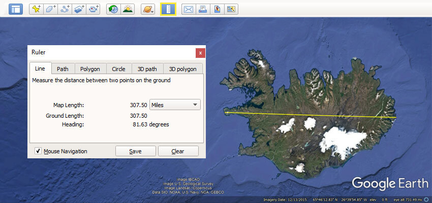
Use the Google Earth Ruler Tool
One trick to get a better idea of the scale of different areas, is to use the ruler tool built into Google Earth. It allows you to measure from one point to another anywhere on the globe. Just select your starting and end point, and it will tell you how far it is in whatever unit of measure you select. It is extremely easy to get an idea of the size of a continent, country, or even how far it is from one city to another.
What about the size of the planet?
But, this does lead us to another point to consider and that is the actual size of the planet itself. Since you are drawing a fantasy world you theoretically have the option to make your planet whatever size you want. But, if you are pursuing realism in your world and don’t want to spend a lot of time thinking about the effects of gravity and such…my suggestion is to make your planet roughly the same size as Earth, which is about 25,000 miles around.
Yes, you can absolutely play around the planet size, but if you do then it is going to theoretically impact a lot of other things like gravity and the effect it has on life…if it could sustain life as we know it at all. If you want to geek out over that and try to come up with a realistic setting on a smaller or larger planet, then go for it. But for most people that is a can of worms not worth opening. And frankly, almost nobody is going to even realize if your planet is earth-size so it really won’t hurt you in the long run.
3: Keep Travel Time in Mind
Being able to jump in a car and drive to a store 30 miles away in about half an hour is an extremely recent luxury. Imagine having to walk that same distance, carrying all your supplies for the trip like food, water, and gear to make camp. As I mentioned earlier, you can see that just taking travel time into account will dramatically shrink the size of your world.
During the medieval period the average person never traveled more than 10 miles in any one direction from where they were born. For us in the 21st century, this is really difficult to wrap our mind around since most of us have to travel that far just to get to work. Living in such a tiny area though would dramatically impact what you believe about the world, but that is the kind of thing you potentially can lean into when telling your own story.
But, exactly how far can you travel in a day, and is there a general guideline to follow? If you do any searching on this subject you will quickly realize there is a decent amount of debate about this, and part of the problem is that there are so many variables. Potentially it is a subject unto itself to cover at a later time, but as a general rule I would keep these things in mind.
Person Walking: 15 miles per day
Person on Horseback: 25-30 miles per day
As I mentioned before though, there are many many potential variables but this gives you a general idea of how long it would take to get from once place to another in good conditions. From there you can then consider things like terrain, weather, and some of the other things that could inhibit travel speed.
How to Begin Drawing Your Map
Hopefully you have a better idea what size and scale you want your map to be. But how can you take these principles and begin actually drawing your map? While there are many ways to do this, here are the steps I personally take.
Decide What Size Document You’re Using
After I have determined the size of the area I am going to be mapping, I then have to scale it down to fit on whatever size document I am working with. Generally, my preference is to work at a resolution that is sufficient to make poster size prints; something close to A2 paper size (16.53 x 23.39 inches) is usually my target. Anything more than that will bog down my machine too much to make it practical to work on.
But, most of the time the map itself needs to fit on something closer to a standard 8.5 x 11 inches if the map is going to go into a book. So I will usually use that as my starting place and resize the document to a higher resolution. It’s always better to create your map at a higher resolution than it “needs” to be, just in case you do want a larger print down the line. You can always resize it down but you can’t resize it up without losing quality.
Check out the full blog on picking the best canvas size here!
Scale Your Map to Fit Your Document
The easiest way to do this is to take whatever size document you are working on and convert the dimensions to miles (or kilometers). So if you have a piece of paper that is 8.5”x11” then you can say that 1 inch = 100 miles. Which means you have a piece of paper that is roughly 850 miles tall, by 1,100 miles wide. Then all you have to do is draw a simple scale in the corner in perhaps 1/2 inch or 50 mile segments to act as a guide.
Then if you are working on something like an iPad as I am most of the time, you can take that same document with the scale already in place and resize it up to whatever you want it to be. The benefit if doing this is that you are sure your proportions are right from the beginning. Plus I usually like to do my rough sketch on the lower resolution document as it is less of a strain on my computer or iPad. It also helps me to stay loose with my sketch to focus on composition and placement by working on a lower resolution document so I don’t get lost in the details too early.
Happy mapping!
- Josh