All Over the Map - Book Review

This post contains affiliate links, which means if you make a purchase through
these links, I may receive a small commission at no extra cost to you.
Have you ever looked at a piece of art that really did nothing for you, but once you heard the story behind it you found yourself completed engrossed and examining every detail? This was an experience I had again and again as I read, "All Over the Map, A Cartographic Odyssey" by Betsy Mason and Greg Miller. There was of course many maps that immediately captured my imagination the moment I looked at them, and the stories behind them added a whole new layer of depth to my appreciation.
While there are beautiful maps in this book, that was not the primary thing motivating why they made the cut. Ultimately, I would say the goal of this book was to compile interesting maps that told a story or were created to cause the viewer to think. I found this to be a refreshing angle and I walked away having a deeper appreciation for the story that cartography can tell.
WHAT SHOULD YOU EXPECT?
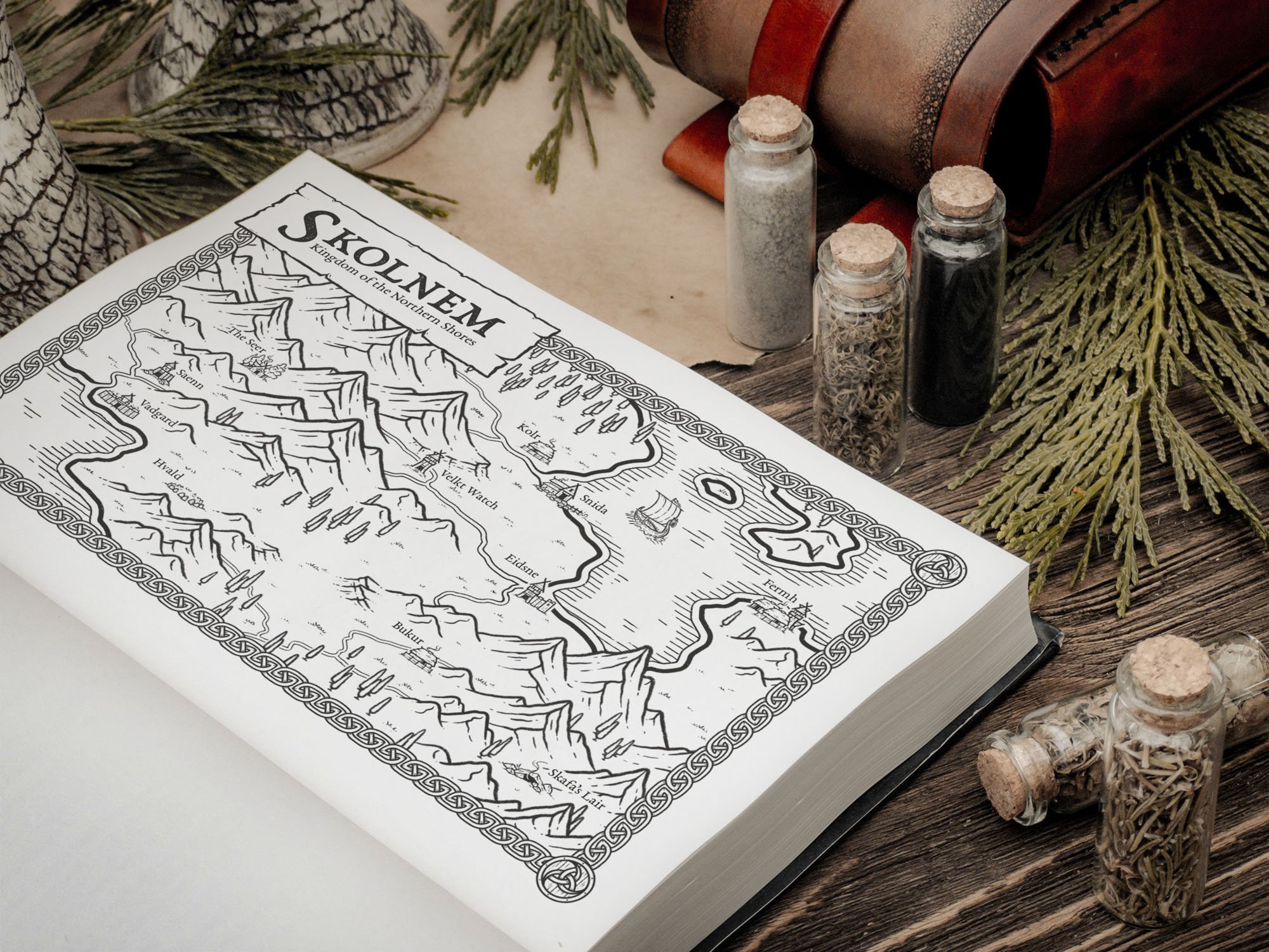
When I began the book, I did not realize how appropriate the name of the book itself was for describing what I should expect. Normally, books of this kind that wish to showcase historical maps are organized with the maps of antiquity at the beginning, and modern digital maps in the end. This book though groups maps according to the message or purpose behind what the map was intended to convey. There are sections dedicated to conflicts, economies, and science, and of course more traditional maps for landscapes, cities, and waterways. Because they are organized this way, you really never know what to expect when you turn the page. While this is something I did enjoy about the book, it does have a bit of feeling of randomness to it which I could see being a problem for some people. If you can embrace it though for what it is, I think you can enjoy the "Odyssey" the authors want to take you on.
When you turn the page the first thing you do is look at the full-page print of the map being showcased. There were times I was honestly tempted to skip a few of these because I did not find them visually appealing at first glance. However, I quickly learned that it was worth taking the time to read the story behind the map before moving on. When you think of a "map", you probably wouldn't think of one based on the smells of a city, or one color-coded to show foot traffic in an area. Or even a map that showed only the waterways in the United States, or broke the country up into islands or lakes based on voting results from the most recent Presidential election. The book really showed how some people around the world have pushed the boundary on what we think of as a map and it honestly really got my imagination churning.
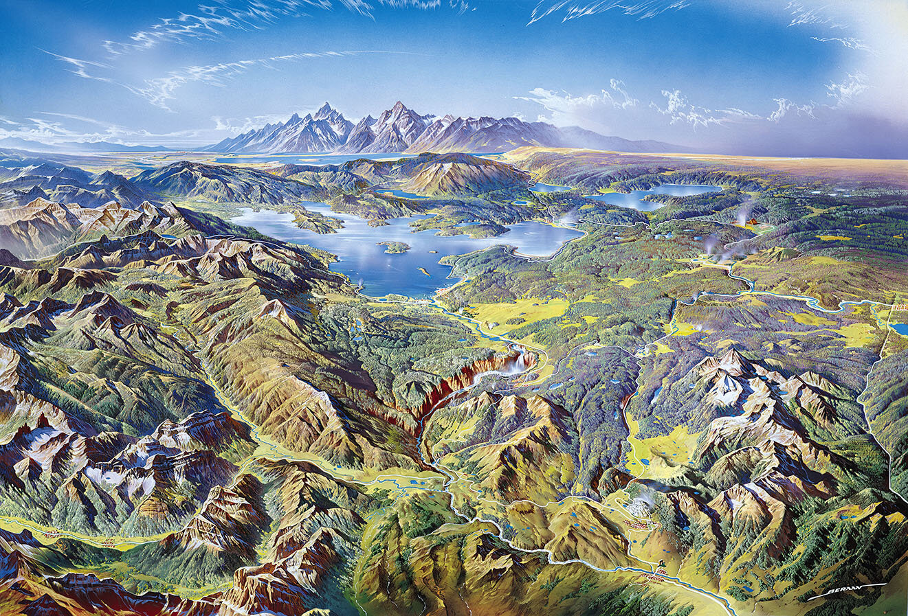
Yellowstone National Park Map by Heinrich Berann
I want to be careful though so that I do not make it sound like this book is just filled with random and visually unappealing maps with a good story because there is a host of other maps that I found not only beautiful, but thoroughly enjoyed reading the story behind their creation as well. One of my main take-aways in fact, is that there are now several maps showcased in this book that I would really love to have high resolution prints of to hang in my office just for their amazing artistry. As I myself am more of a landscape cartographer, I particularly enjoyed viewing and reading about the intensive work by Bradford Washburn and his team to map the Grand Canyon. The amount of time and attention to detail by the Swiss cartographer Tibor Tóth in airbrushing the contours of the topography gave me a new level of appreciation for the art.
One of the more philosophical things I took away from reading this book, is the fact that no map is entirely "accurate", and every one reveals something about what motivates the cartographer. There are many instances in the stories behind these maps that reveal the distortion an artist has placed on their map in order to convey a certain idea or feeling. This may be a logistics issue of figuring out how to show skiing routes on a three-dimensional mountain, and the challenge of conveying that on a two-dimensional map or it may be motivated by religion and desiring to visually tell the story of Christ in the city of Jerusalem, rather than emphasizing an entirely accurate layout of the city. In either case, the creative behind the map needs to make certain decisions based on what they want their audience to know and feel.
WHO IS THIS BOOK FOR?
The cover of the book itself is beautifully designed and meshes several historical maps from the book into a modern, well-designed graphic. As I have professional experience in graphic design, this means a lot to me. After all, what is more embarrassing than trying to read a book in a public place that has a terrible cover? I have read many books with the dust-jacket removed just because of the poor cover design. But, this book does not have this problem and in fact is perfect if you are looking for a book to display on the coffee table.
I am very glad to have this book as part of my collection and it is currently holding a place on my own coffee table. I see it as one I will open time and time again just to look at some of the maps and read some of the stories that go along with them. This is a great book for anyone who loves the art and the stories behind cartography.