Drawing Deltas on Your Fantasy Maps
Deltas are a key source of agriculture for civilizations due to their nutrient rich soils. One of the key things that allowed Egypt to rise to and maintain power for so long was their acess to the Nile River and it’s delta. Now, lets look at how they form so you can realistically add them to your fantasy maps.
Rivers Erode the Landscape
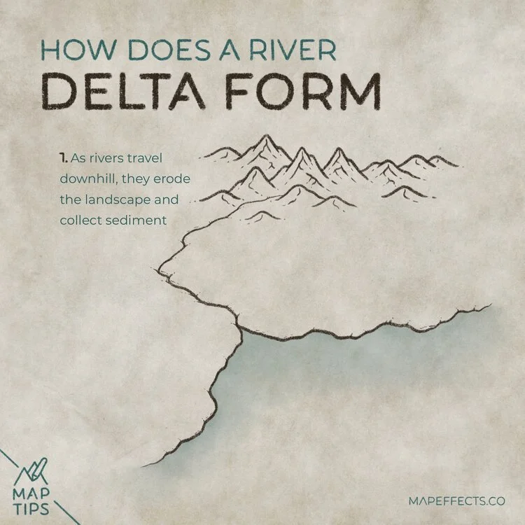
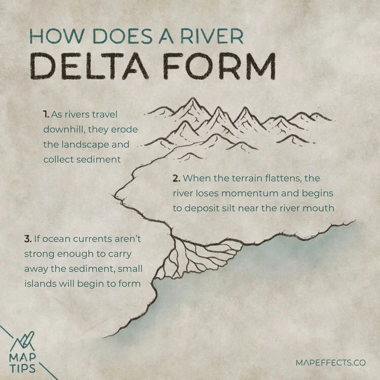
As rivers travel downhill, they erode the landscape and collect sediment along the way. This is an important way for minerals and organic matter to travel downstream.
Sediment Deposits Near River Mouths
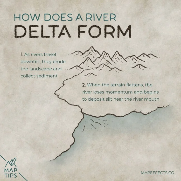
As the terrain flattens out near the coastline, the river loses momentum. When this happens deposits of silt will form near the mouth of the river where it meets the ocean.
Depending on the size of the river, the amount of sediment traveling downstream can be several million tons in just a year.
Cartographer’s Liner Brush Field Kit
$29 | For Procreate, Photoshop, & Clip Studio Paint
Want the brushes I am using for this Map Tip? The Cartographer’s Liner Brush Field Kit contains 21x unique liner brushes designed to give an analog quality to your digital work.
Islands Begin to Form
If ocean currents aren’t strong enough to carry away the sediment, small islands will begin to form as the river mouth.
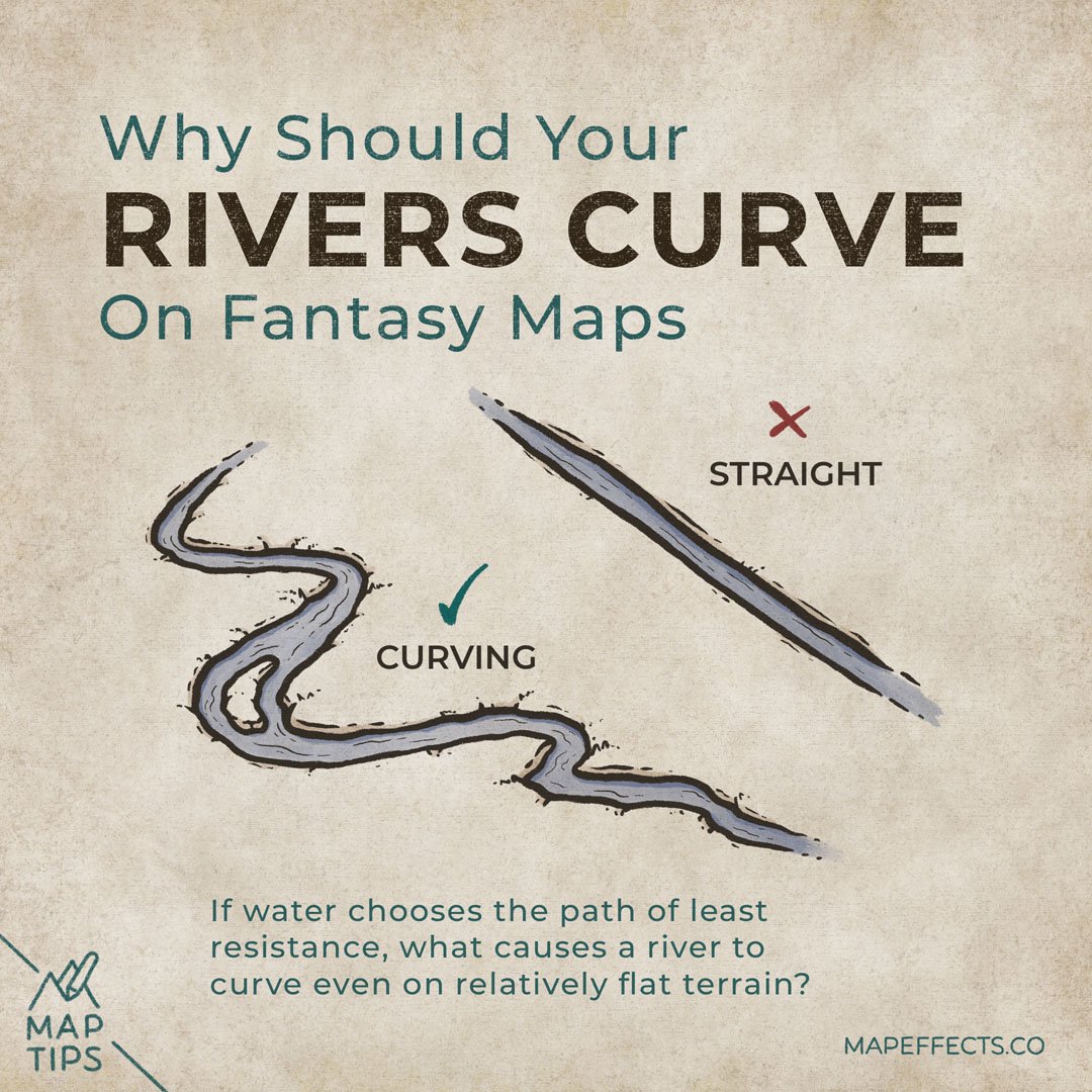
Because this is a relatively flat area where the soils are saturated with water, this is when you will see an exception to the “rivers never split” rule.
Nutrient Rich Soils
River deltas are notoriously dangerous to live near because of flooding and the constantly shifting landscape. Nevertheless, the nutrient rich soils found in deltas have long been sought after for civilizations for agriculture.
I hope you found this little Map Tip helpful in your journey to map your story. If you want to support Map Effects and help other map makers, be sure to share this with someone who will find it helpful and pin it to save for later!
Happy Mapping!
- Josh


